
GEO5 以多种语言生成计算书——对于国外项目非常有用。
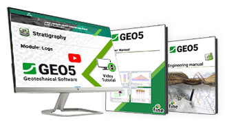
您可以访问我们提供的各种资源,旨在帮助提升您的工作能力,无论您是从业工程师、学术界人士还是学生。
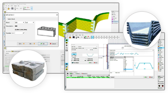
GEO5 包含型材、板樁、錨定、釘子、土工格柵和塊的目錄。
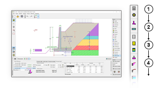
GEO5 拥有统一的界面和便于操作的自上而下的工作流程。
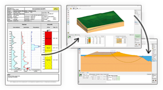
GEO5 将地质数据建模与高级岩土工程设计工作整合到一起。
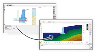
GEO5 可以比较两种独立的设计方案。
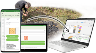
在现场收集地质数据并将其发送到三维地质建模模块。
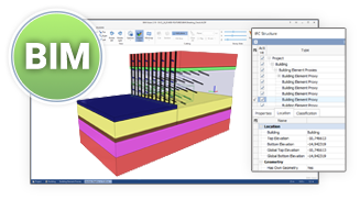
GEO5 能导出常见的 BIM 格式数据,并与第三方软件共享数据。
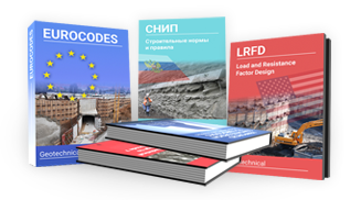
GEO5 是全世界工程师独一无二的工具。
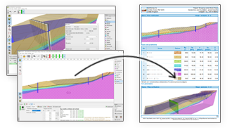
GEO5 可以导出 pdf 或者 word 格式的报告,易于编辑。
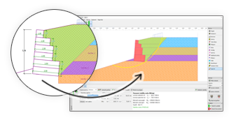
GEO5 的数据可以在各个模块之间进行传递。

GEO5 以多种语言生成计算书——对于国外项目非常有用。

您可以访问我们提供的各种资源,旨在帮助提升您的工作能力,无论您是从业工程师、学术界人士还是学生。

GEO5 包含型材、板樁、錨定、釘子、土工格柵和塊的目錄。

GEO5 拥有统一的界面和便于操作的自上而下的工作流程。

GEO5 将地质数据建模与高级岩土工程设计工作整合到一起。

GEO5 可以比较两种独立的设计方案。

在现场收集地质数据并将其发送到三维地质建模模块。

GEO5 能导出常见的 BIM 格式数据,并与第三方软件共享数据。

GEO5 是全世界工程师独一无二的工具。

GEO5 可以导出 pdf 或者 word 格式的报告,易于编辑。

GEO5 的数据可以在各个模块之间进行传递。

GEO5 以多种语言生成计算书——对于国外项目非常有用。

您可以访问我们提供的各种资源,旨在帮助提升您的工作能力,无论您是从业工程师、学术界人士还是学生。

GEO5 包含型材、板樁、錨定、釘子、土工格柵和塊的目錄。

The software in general is very good and ties in well with the way we do things here. From our review, the calculation results compares very well with our methods for both slope stability and settlement. The graphics and the ‘point-and-click’ data input are also very good and makes the program very easy to use.

It’s really great how easy the software is. I’m now doing the calculations so much faster and easier than doing it manually and most importantly, the technical customer service team are great and they respond instantly and professionally to any question or clarification. Thank you guys for being so awesome. High fives!

Great software....highly recommend.....always updating/improving and implementing feedback from users.